

 Tendencias Científicas
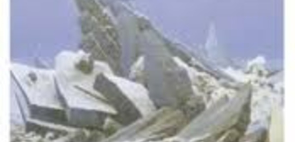
Subsidence, rockfalls and landslides threaten potentially devastating human and economic consequences across Europe -- but satellites can help. Traditional monitoring such as photographic mapping to measure changes in the landscape works well for specific locations but is labor intensive and costly. Now, the European Space Agency has looked at using satellites to watch for hazards across broad areas that could affect road and rail networks. http://feeds.sciencedaily.com/~r/sciencedaily/~3/C...
 Inicio
 Enviar a un amigo
 Versión para imprimir

 La prevención del VIH no llega a las jóvenes sudafricanas


 CIENCIA ON LINE